Recreation area overview
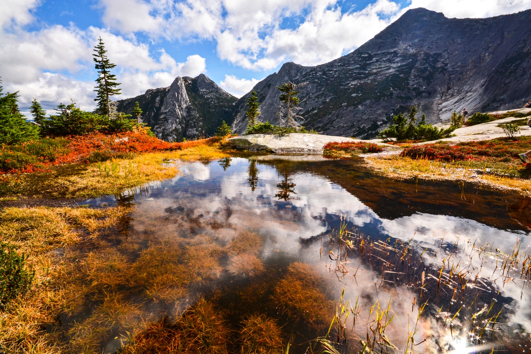
The Coquihalla Summit Recreation Area was established in order to protect the Coast-Cascade dry belt landscape and provide break opportunities for travelers along the new Coquihalla Highway. The area presents a beautiful setting for wildlife viewing.
Visitors may find it interesting to know that this area transitions between the coastal and southern interior environment which has four different biogeoclimatic zones. The impressive granite peaks and historic features such as the Kettle Valley Railway and Coquihalla Highway weave through this scenic landscape.
Advisories
Safety info
- Bring your own water as potable water is not available in the park.
Special notes
- The diverse ecosystems contained within the Coquihalla Summit Recreation Area contain many rare species of plants and animals – please protect them by staying on the designated roads.
- Motor vehicles, ATVs and snowmobiles are permitted on designated park roads only, within the Recreation Area.
Camping
There is backcountry camping available at Falls Lake, approximately a 2km hike. It is a small, rustic campground with no facilities provided. Please practice “Leave No Trace” camping ethics; pack it in, pack it out.
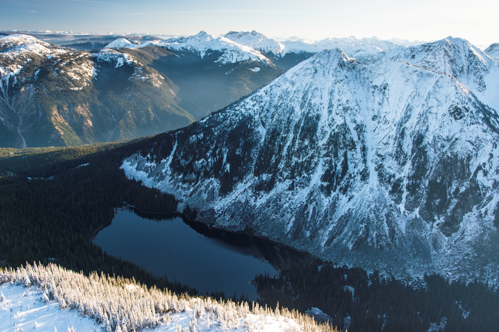
Winter camping is allowed but please be aware of the extreme winter conditions that can occur at this Recreation Area. Backcountry skiing and snowshoeing opportunities exist. No facilities are provided. Winter camping has traditionally been occurring at or near Falls Lake.
Be properly equipped with, and experienced in the use of, avalanche safety gear if venturing into avalanche terrain. Coastal winter weather can change rapidly, affecting visibility and travel conditions. Be aware and prepared. Please practice “ Leave No Trace” camping ethics.
Facilities
Pit and flush toilets are located throughout the park. Flush toilets are located at the toll booths and Zopkios Ridge Highways Rest Stop (Managed and Maintained by the Ministry of Transportation and Highways).
Activities
The Falls Lake Trail parking lot is located approximately 1km west of Hwy 5 from the Falls Lake Turn off. The trail is 1.5km in length and offers a scenic view of the lake where visitors can fish for small rainbow trout.
- South Fraser Trail Conditions Report [PDF] (August 31, 2023)
There is fishing at Falls Lake for rainbow trout. Falls Lake has a surface area of 25.6 hectares and an average depth of 10 metres.
Anyone fishing in British Columbia must have an appropriate licence. To learn more, see the fishing and hunting guide.
Pets and domestic animals must be on a leash at all times and are not allowed in beach areas or park buildings. You are responsible for their behaviour and must dispose of their excrement. Backcountry areas are not suitable for dogs or other pets due to the potential for problems with bears and other wildlife.
Please note that bicycles with electric assist motors (e-bikes) are permitted on signed or designated trails within Coquihalla Summit Recreation Area, provided they meet the definitions and criteria for e-bike use as outlined in the BC Parks cycling guidelines.
Some horse riding occurs on existing gravel roads and pipeline right of ways.
This park is open to hunting. All applicable hunting licenses are required. However, there is no park specific hunting permit needed.
Backcountry skiing and snowshoeing occurs in much of the recreation area. Heavy annual snowfall occurs. Please be safe!
Winter camping is allowed but please be aware of the extreme winter conditions that can occur. No facilities are provided. Please utilize fuel stoves only as campfires are not permitted. Winter camping has traditionally been occurring at or near Falls Lake. Please practice “ Leave No Trace” camping ethics.
Be properly equipped with, and experienced in the use of, avalanche safety gear if venturing into avalanche terrain. Coastal winter weather can change rapidly, affecting visibility and travel conditions. Be aware and prepared.
The Coquihalla Summit Recreation Area is located along the Coquihalla Highway approximately 45km north of Hope.
Recreation area and activity maps
- Google Earth KMZ file of the hiking trails (must have Google Earth or other compatible software installed).
- Coquihalla North Avalanche Terrain Exposure Scale Map [PDF 2.4MB]
- Coquihalla South Avalanche Terrain Exposure Scale Map [PDF 2.2MB]
- Coquihalla West Avalanche Terrain Exposure Scale Map [PDF 2.2MB]
- Coquihalla Parking [PDF]
Learn more about this recreation area
Recreation area details
- Date established: September 4, 1987
- Size: 5,750 hectares
Nature and culture
History
The Coquihalla Valley has long served as the major transportation route from the coast to the interior beginning with the Hope-Nicola Trail in 1876. The Coquihalla Summit Recreation Area still contains some remnants of the Kettle Valley Railway which ran through the area from the early 1900s through to 1961. Modern access has been highlighted by the construction of the Coquihalla Highway and the subsequent establishment of a series of protected areas along the route in 1986.
Conservation
The Coquihalla Summit Recreation Area lies in the transition area between the coastal and southern interior environment. As a result, the area is very diverse, containing four different biogeoclimatic zones and a wide variety of wildlife species. View the wildlife safety page for information on staying safe.
Reconciliation with Indigenous Peoples
BC Parks honours Indigenous Peoples’ connection to the land and respects the importance of their diverse teachings, traditions, and practices within these territories. This park webpage may not adequately represent the full history of this park and the connection of Indigenous Peoples to this land. We are working in partnership with Indigenous Peoples to update our websites so that they better reflect the history and cultures of these special places.

