The hikes detailed on this page are on steep and rough trails. Do not underestimate the time required to complete the route. The time presented is for reasonably fit hikers, be aware that it may take longer than stated for one to finish the hike.
These trails are recommended for fit and experienced hikers only.
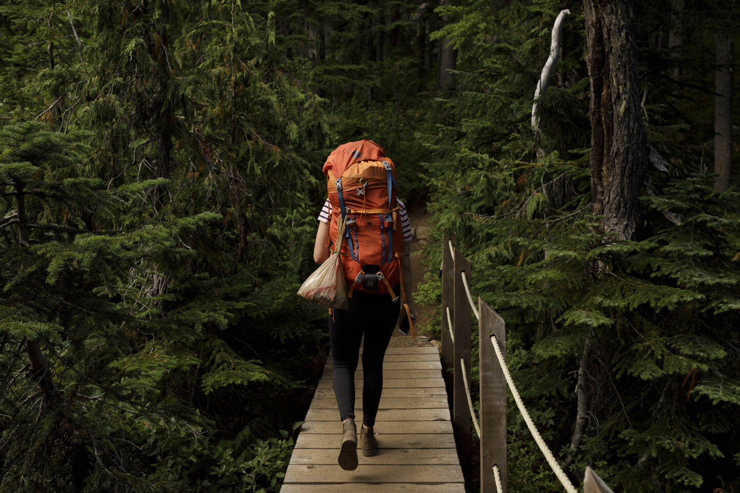
Lindsay Lake Loop
Length 15 km, Elevation Gain: 1020 m, Approximate hiking time 6-8 hours.
This trail climbs steeply out of Buntzen Lake to El Paso junction. Throughout the climb you will pass spectacular views of Vancouver. The trail splits into a loop here.
Turning west (left) will take you across Buntzen Creek past Barton Point and Little Valhalla lookout points. This section of trail contains the best remaining old growth stands along Eagle Ridge. You will travel along Spahat Ridge, past Jessica Lake to West Point and The Pulpit viewpoints. When you reach Lindsay Lake there is a three way junction.
Turning north will take you onto the Swan Falls Loop. Turning southeast (right) will take you along the last half of the Lindsay Lake Loop. Along this half of the loop there are two subsidiary loop trails. The eastern of the two trails leads you in a loop around Delmeza, Robin, and Siskin Lakes. This loop rejoins the Lindsay loop trail at Wren Lake. The western loop takes you around St. Mary’s, Mac, and Jay Lakes.
The trail steeply descends along the same route as you climbed up.
Swan Falls Loop
Length: 20 km, Elevation gain 1150m, Approximate hiking time: 9-10 hours.
Follow the Lindsay Lake Loop to El Paso junction (see description above). Turn either west (left) or east (right) at El Paso junction.
Turning west (left) will take you through the best remaining old growth stands along Eagle Ridge.
Turning east (right) will take you through the “Lakes District.”
After reaching the Lindsay Lake Junction continue north along Eagle Ridge, the trail rises and falls along the ridge. There are excellent views all along the trail. However an excellent view is available at the summit of Mt. Beautiful/Eagle Peak.
After reaching Swan falls junction turn west (left) and descend steeply to the Powerhouse road. Return to South Beach and the parking area along this road.
Dilly Dally Loop
Length: 25 km, Elevation Gain: 1150m, Approximate hiking time: 10-12 Hours.
This trail starts at the northern end of Buntzen Lake.
Travel up the exit of the Swan Falls Trail to Swan Falls Junction. Turn north here and travel along the ridge past 117 Lookout and over Dilly Dally Peak. The ridge continues to Dilly Dally Pass and begins to descend along an old logging road to the power lines road. Follow this road to the north end of Buntzen Lake.
One can return to their vehicle on a number of different trails from this point. The easiest route to take is the powerhouse road or the Buntzen Lake trail on the east shore of the lake.
Diez Vistas Trail
Length: 7 km, Elevation Gain: 460m, Approximate hiking time: 6-8 hours.
This trail is named for its spectacular views – Diez Vistas is Spanish for Ten Views. This trail offers spectacular views of Vancouver, Burrard Inlet and Indian Arm.
The trail starts in the B.C. Hydro Recreation area. Start the trail near the floating bridge at the south end of Buntzen Lake. Travel uphill and cross both the power lines and a pipeline. The trail switch backs uphill to a fork.
The north (left) fork leads to views of Indian Arm and Deep Cove. The east (right) fork leads to views of Eagle ridge and Buntzen Lake.
The two forks reunite farther along the trail at its highest point. Follow the trail along the forested ridge past numerous viewpoints. The forested trail ends at an access road.
Keep east (right) following the road and power lines to the Buntzen Lake trail. At this point a left turn will take you north to the suspension bridge and North Beach.
From here return to the South End of Buntzen lake via the Powerhouse road or the Buntzen Lake Trail.