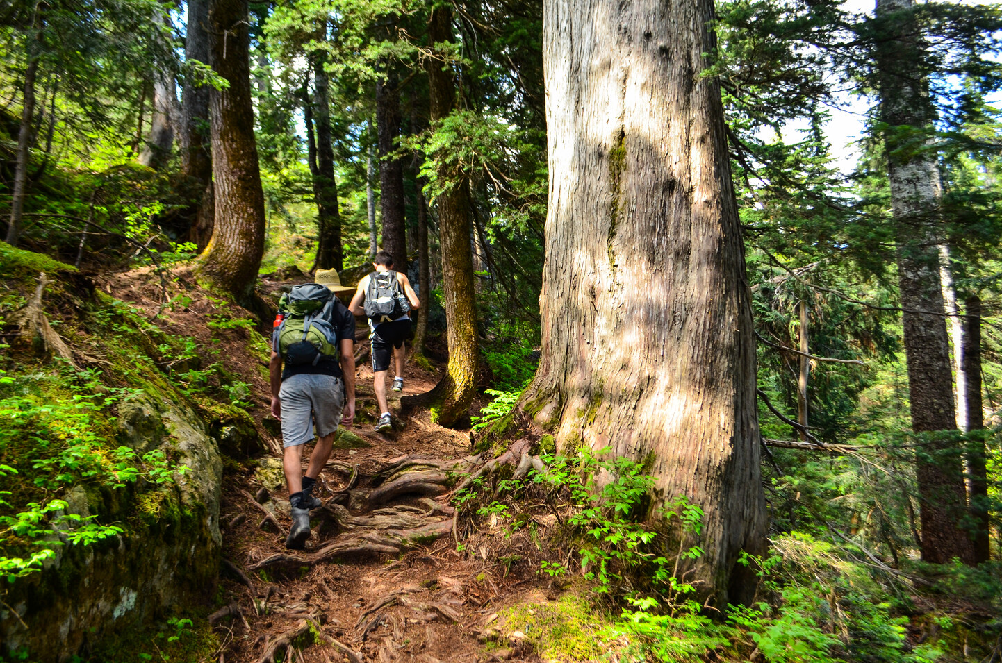
Mount Seymour Park boasts an extensive trail network; many of the trails lead to vantage points, notable park features, and spectacular lookouts. Listed below are descriptions of 14 trails of varying lengths and difficulty. Lengths, suggested hiking times (one way, unless otherwise noted), elevation changes and levels of difficulty are approximate and are based on summer hiking conditions.
Short hikes (less than 2 km)
Old Buck access
Length, 1 km. Suggested hiking time is 30 minutes (with minimal elevation change).
This hike is rated easy. The trail begins at the Vancouver picnic area parking lot. This short trail terminates at the junction with the Old Buck trail.
The Mushroom parking lot
Length, 750 metres. Suggested hiking time is 15 minutes (with minimal elevation change).
The trail begins just across the road from the Vancouver picnic area parking lot and offers hikers an opportunity to experience more of Mount Seymour's past as it developed toward a major ski area. This hike, not surprisingly, is rated easy.
Perimeter
Length, 1.5 km. Suggested hiking time, 45 minutes. Elevation change, 240 metres.
The trail begins at the Deep Cove lookout and ends at the Goldie Lake access trail junction. This hike is rated moderate.
Old cabin
Length, 430 metres. Suggested hiking time, 20 minutes. Elevation change, 25 metres.
This is a short connector trail that runs from Parking Lot 1 to the Perimeter trail junction. This trail is rated easy.
Dinkey peak
Length, 750 metres. Suggested hiking time, 15 minutes.
Elevation change is minimal. This is a short, scenic trail that starts 250 metres along the main Mount Seymour trail and which leads to the peak of Dinkey Bluff, affording a beautiful view of the lower mainland.
Flower Lake loop
Length, 1.5 km. Suggested hiking time is 45 minutes. Elevation change is 150 metres.
This is a pleasant trail that starts 500 metres along the Goldie Lake trail and leads through sub-alpine bog and pond communities. Hikers are afforded the opportunity to see a variety of bird species. The hike is rated easy.
Mystery Lake
Length, 1.5 km. Suggested hiking time, 45 minutes. Elevation change, 180 metres.
This popular summer trail begins at the north end of Parking Lot 4 and follows along the chairlift right-of-way to the lake. There are no fish in the lake but it is a refreshing swimming spot on a hot summer day. This is considered a moderate hike.
Medium hikes (2 to 5 km)
Old Buck trail
Length, 2.3 km to the Baden-Powell trail junction. Suggested hiking time, 45 minutes.
A longer hike is the 5.5 km route to Perimeter trail junction, which should take two hours.
Total elevation change is 670 metres. The trailhead is located near the park entrance across the road from the Gatehouse. The trail winds its way up to the beginning of the Perimeter trail following the grade of an old logging road, thus providing hikers with a reflection of the historic development of Mount Seymour. This hike is rated moderate.
Horse trail
Length of this loop is 2.5 km.
Essentially an old logging road, this trail is used primarily by mountain biking enthusiasts. At one time the trail was travelled by equestrians, an activity that is no longer recommended.
Goldie Lake loop
Length, approximately 2 km from the parking lot. Suggested hiking time for the complete loop is one hour.
Elevation change is minimal. This is a self-guided interpretive trail that starts by the first aid building and winds its way past the Goldie Rope tow area to Goldie Lake. This trail also connects with the Flower Lake trail and the top end of the Perimeter trail system. Its rating is easy.
Mount Seymour
Length, 4 km. Suggested hiking time, 2.5 hours. Elevation change, 450 metres.
This busy trail starts near the north end of the top parking lot, traversing Brockton Point and First and Second Pump Peaks. From the summit there is a panoramic view of Vancouver, the lower mainland and, on a clear day, the Gulf Islands and Vancouver Island. This hike is rated moderate to difficult.
Longer hikes (more than 5 km)
First Lake loop and Dog Mountain
Length is 1 km to First Lake, 2 km from First Lake to Dog Mountain (one way), and 3 km from First Lake to complete loop.
Suggested hiking times are: 30 minutes to First Lake; 40 minutes from First Lake to Dog Mountain; 45 minutes for loop trail from First Lake.
The elevation changes are: to First Lake and Dog Mountain, minimal; Loop Trail, 60 metres.
The trail begins just northwest of the chairlift and climbs gently through dense sub-alpine old-growth fir forest to First Lake and the trail junction for Dog Mountain or Mount Seymour. From this junction follow the trail west to Dog Mountain for a spectacular view of Greater Vancouver and the Seymour River Valley, or else follow the trail north from the junction towards Mount Seymour and eventually loop around back down to the parking lot. This hike is moderate.
Elsay Lake
Length, 17 km. Suggested hiking time is 9-10 hours return. Elevation change, 500 metres.
This rugged trail begins on the main Mount Seymour trail and follows it until the trail divides just before First Pump Peak. The trail is well developed until a point northwest of Gopher Lake where the trail narrows and is marked with flashers and tape.
Sections of the trail can be extremely rugged and easy to loose in inclement weather. An emergency shelter is located at the end of the trail for emergency use only. Only experienced and well equipped backcountry travellers should hike this trail. Hikers are encouraged to plan their hike with an early departure, and not to underestimate the travel time required. This trail is considered difficult. Best hiked late June through October.
Baden-Powell
The Baden-Powell trail was a British Columbia Centennial project initiated in 1967 by the Girl Guides and Boy Scouts of Canada. Completed in 1971, the trail connects Deep Cove on Indian Arm with Eagle Ridge Drive near Horseshoe Bay, a distance of 42 km.
About 5 km of the trail are in the park and may be accessed from the Baden-Powell picnic area and parking lot located 2 km along the main road from the park entrance.
One section of the trail leads west from here to the Mushroom trail junction; the length is 1.7 km, the suggested hiking time is 40 minutes, and the elevation change is 130 metres. The other section of the trail leads east to Deep Cove; the length is 3.2 km, the suggested hiking time is one hour, and the elevation change is 275 metres.
These sections of the trail are considered moderate. Condition of the trail outside park boundaries varies considerably so please use caution.