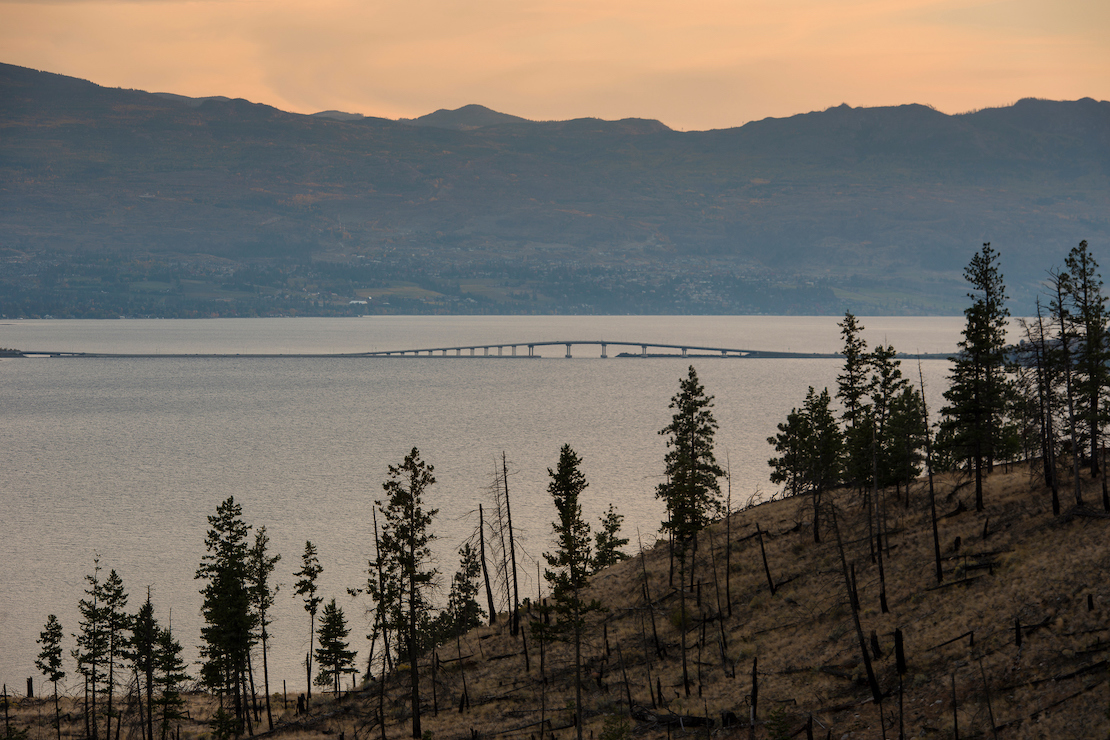
Long-Term Ecological Monitoring Program

Protected areas in B.C. comprise more than 14 million hectares of the province. Parks have long been recognized as valuable benchmarks for monitoring conditions that are not directly affected by human activities.

BC Parks’ Long-Term Ecological Monitoring (LTEM) Program aims to monitor ecological changes occurring across B.C.’s landscape, from the marine and intertidal biome right up to the alpine and sub-alpine biome. The data that results from 10, 20, or 50 years of monitoring will be invaluable for describing trends and rates of change in our very diverse and topographically complex province.

Look on this page for:

Land managers across the province will need to know what kinds of changes are happening in B.C.’s ecosystems, where and at what rate, in order to make informed management decisions that will protect the natural qualities of our province. BC Parks’ LTEM database will serve as a valuable resource for land managers.

As BC Parks’ LTEM Program grows, it has already benefited from the help of many volunteers and other partners who have helped us collect data and build the database. If you are interested in knowing more about this project or finding out whether you or your organization can get involved, please contact the LTEM Program Manager at BCParksConservation@gov.bc.ca.

Ecological monitoring is the “repeated observation, through time, of selected objects and values in the ecosystem to determine the state of the system”.   
Clayoquot Sound Scientific Panel

Get the data

BC Parks’ Long Term Ecological Monitoring (LTEM) database will help build an understanding of ecological processes by revealing patterns and trends occurring over time. This database will serve as a benchmark of the current state of the environment that can then be compared to future conditions and support land managers across B.C.

It is difficult to predict the impact that a large ecological monitoring database can make in 10-or-20 years' time, but we need to start now so that we are better prepared to respond and adapt to the ecological changes that are already occurring on our landscapes.

Access BC Parks’ Long-Term Ecological Monitoring data

Biome descriptions

Intertidal

Along the B.C. coastline, the intertidal zone is mostly bedrock with a rich diversity of intertidal plants and animals. The biodiversity of the rocky intertidal zone is very responsive to environmental change. The nearshore, just beyond the beach, supports diverse marine fish and invertebrates. Many of these species are harvested for food or impacted by coastal development. The status of seagrass meadows, the rocky intertidal zone and nearshore marine life is the focus of citizen science around the world.

Indicator-protocol description

The rocky intertidal protocol involves measuring three indictors of ecosystem health. The indicators are the extent and productivity of intertidal plants, the density of intertidal animals, and the abundance of seastars, the top predator in this ecosystem. Our intertidal monitoring sites link with the Partnership for Interdisciplinary Studies of Coastal Oceans (PISCO) network that ranges from Baja California to Alaska. These sites are measured every four years.

Wetlands

Wetlands are areas where fresh water is at or near the surface for most of the year. They include bogs, fens, swamps and marshes. Wetlands cover just seven percent of the province but provide a disproportionate service to biodiversity. As a provider of ecosystem services, they are renowned for absorbing water quickly and releasing it slowly with improved quality. 

Wetlands:

  • Buffer environmental extremes
  • Filter sediments, pollutants, and excess nutrients
  • Recharge groundwater
  • Help maintain stream flows
  • Control runoff
  • Store floodwaters

Source: From taking nature’s pulse: the status of biodiversity in British Columbia. Austin et al. 2008

Indicator-protocol description

Three protocols have been selected to characterize the changes in wetlands amphibians, waterfowl, and water levels. The amphibian protocol uses one or a combination of two BC Frogwatch protocols. These are call surveys and visual surveys. A survey of waterfowl will characterize bird productivity at the site. In addition, a data logger is placed in the water to record changes in water temperature and water level.

Alpine

The Alpine ecosystems in the province comprise those areas that are at or above tree line. This ecosystem complex has the harshest climate of any ecosystem in the province. This is a function of the interaction of latitude and elevation. At this time there are about 132,000 square km of alpine environment in the province. This includes some trees at the lower elevations. It is anticipated that dramatic changes will occur in the alpine and reduce the amount of these ecosystem to about 36 square km by the end of the century.

The high elevation and cold temperatures of these ecosystems make this the area that holds the most snow and ice in the province. For this reason, mountains have been described as water towers and act as reservoirs for water storage during dry seasons.

Indicator-protocol description

The monitoring in the alpine measures species changes along an elevational gradient. Permanent plots placed at equal intervals along transects perpendicular to the slope are measured every four years. Measurements involve estimating percent cover of every species within a 0.5m-by-0.5m plot frame. Analysis will inform rate of tree level rise, overall species movements, and movement of invasive species.

Forest (wet, dry and boreal)

Forests cover 70% of the province, more than any other biome. This large extent includes a wide variety moisture and temperature conditions, which are reflected in a vast diversity of forest types. These types can be roughly characterized as dry forests (forests of the southern interior), wet forests (forests along the coast or in the interior wet belt), and northern forests (the boreal forests of the north).

Indicator-protocol description

There are several protocols for forested sites. The standard indicators are red squirrel and berry productivity. We expect this to be variable across both time and space, but over a long time period with annual data collection, trends and patterns will emerge that will help us understand ecosystem processes in response to change. The protocol for squirrels involves counting vocalizations along a permanent transect. For berry production, the size and quantity of berries is determined annually. The final protocol is most applicable to a citizen science model. It involves recording winter tracks, which will be a window into species range changes. The winter tracks protocol benefits from a responsive volunteer to follow a prescribed route within a few days of each snow fall throughout the winter.

Grassland

Grasslands cover less than one percent of B.C.’s land base but provide essential habitat for more than 30% of B.C.’s terrestrial species of conservation concern. About 90% of B.C.’s grasslands are grazed by domestic stock, complicating the story about ecosystem changes into the future.

Grasslands were rare when Europeans arrived in B.C., but they have become rarer due to development and fire suppression.

Future predictions indicate that grasslands will replace much of the dry forested areas of today. Good information on how this change is occurring can help ensure that these grasslands maintain their integrity during the transition.

Indicator-protocol description

The grassland protocol measures species changes in permanently marked plots at four-year intervals. These plots are placed along transects in areas without domestic grazing pressure, to avoid the confounding results of grazing. These plots will measure how vegetative cover changes over time. Some training in grass identification will facilitate the collection of more useful data.

Other organizations collecting long-term data

BC Parks’ LTEM recognizes other organizations collecting long-term data in B.C.’s protected areas.

Seagrass Conservation Working Group

The Seagrass Working Group organizes seagrass meadow monitoring by volunteers in a number of protected areas along the coast. The monitoring can track changes in the extent of productive seagrass meadows.

REEF

Reef Environmental Education Foundation (REEF) trains and supports scuba enthusiast to record observations of the abundance and diversity of fish and invertebrates.  Many of the REEF survey sites are in provincial protected areas.

FrogWatch

The BC Parks amphibian protocol is taken from FrogWatch. The FrogWatch database of citizen science performed in protected areas can add to the knowledge that we accumulate on wetland ecological changes.

University of Victoria

Brian Starzomski’s lab is establishing long-term alpine plots in locations among the coastal mountains of B.C. His protocols are compatible with the BC Parks alpine protocols so we can augment our sites with the UVic sites.

Canadian Aquatic Benthic Invertebrate Network (CABIN)

This nationwide network has many reference sites in protected areas across B.C. By using these data, we can monitor the changes to ecological conditions in streams in protected areas.

BC Lake Stewardship Society

This group promotes citizen scientists to record lake clarity and ice-on–ice-off dates. Changes in these parameters are indicative of broader ecological changes. The BC Parks LTEM program will use data collected by the BC Lake Stewardship Society and will encourage volunteers to participate with lakes within protected areas.