Some trails remain closed due to damage from the 2023 Crater Creek wildfire. Check Cathedral Park advisories for updates.
Persons considering a visit to Cathedral Park are reminded that the park is a wilderness area without supplies of any kind.
- Hikers should be in possession of suitable maps.
- All visitors must be prepared for outdoor living and be aware that freezing temperatures and snow may occur during any month.
- Equipment, such as tents and sleeping bags, must be able to withstand periods of inclement weather.
- Suitable clothing, including good waterproof/windproof raingear and insulating layers like fleece and down, is a must even if temperatures are warm in the Okanagan Valley.
- Anyone considering an overnight or longer hike should inform a responsible person or agency of their intentions. This information should include estimated departure and return times.
- Short cutting switchbacks on trails or walking off the trails damages plants and soil structure causing erosion. Rocks and debris may also fall on hikers below.
- For conservation of the parks natural values, your safety and the safety of others, please stay on the designated trails and obey posted signs.
Trails into the core area
There are three well-defined hiking trails into the park. Hikers will require at least a full day to hike one-way into the core area.
In addition to the hiking trails listed below there are several cross-country routes. These routes are unmarked and should only be attempted by experienced, well-equipped hikers with proper foot wear, map-reading and route finding skills.
Lakeview trail head to core area
This 16 km trail, which includes an elevation change of 1,300 metres, takes 6 to 8 hours.
The trailhead is at 13 km on the Ashnola Forest Service Road, 23 km from Highway 3. Lakeview Trail is the most direct route into the core area though it is still considered difficult.
Wall Creek trail head to core area
At 20 km and an elevation change of 1,100 metres, this trail takes 7 to 9 hours.
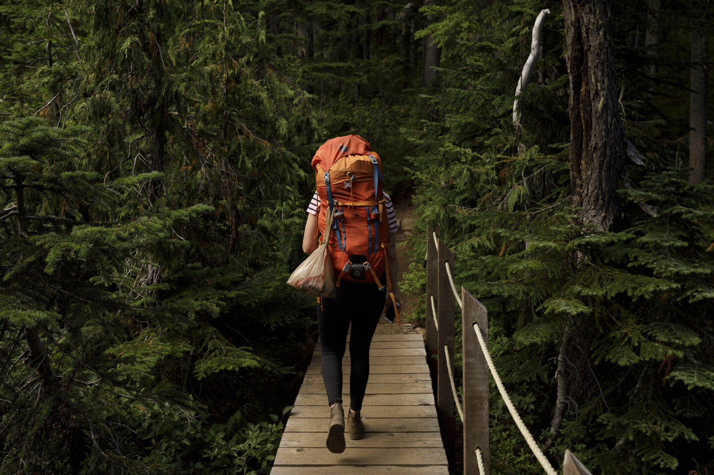
The trailhead is at 38 km on the Ashnola Forest Service Road, 48 km from Highway 3. A footbridge crosses the river. The footbridge is visible from the road crossing the Ashnola River. This scenic trail follows the creek up through open parkland forest and into Red Mountain Meadows.
Ewart Creek trail head to core area (closed)
This is the most challenging trail into the Core Area. This trail is 28 km long and has an elevation change of 1,740 metres; hikers can complete it in 10 to 12 hours, but many people turn it into an overnighter by camping at Twin Buttes en route.
The trailhead is located at the confluence of Ewart Creek and the Ashnola River: follow the Ashnola Forest Service Road roughly 6 km then turn left onto Ewart Creek Road (a wooden Cathedral Lakes Lodge sign is posted at the corner) and cross the Ashnola River bridge onto a single vehicle road that follows the southside of the Ashnola River past private cottages for 3 km until it reaches Ewart Creek Trailhead. There is a pit toilet at the trailhead as well as an information shelter and horse corral.
The first section of the trail is also used by horses accessing Snowy Protected Area. Please respect these other users.
Trails within the core area
Quiniscoe Lake is the hub from which trails and routes radiate to most of the park’s scenic attractions.
Note that:
- The approximate hiking times for the trips listed below are for a round-trip.
- Distances, elevation changes and walking times are all approximate.
- Most of these trails are well-defined and some have improved walking surfaces.
- Hikers should stay on designated trails. Short-cutting and stepping off trail to avoid wet areas increases erosion and destroys plant life and soil structure. Due to the short growing season, these impacts take years to rehabilitate.
In addition to the hiking trails listed below there are several cross-country routes. These routes are unmarked and should only be attempted by experienced, well-equipped hikers with proper foot wear, map-reading and route finding skills.
Quiniscoe Lake Trail
Length, 2 km. Suggested hiking time, 30 minutes.
An easy walk around the lake that passes a small waterfall.
Quiniscoe/Lake of the Woods/Pyramid Loop Trail
Length, 2 km. Suggested hiking time, 1 hour. 30 metre elevation change.
Walking surface is improved to hard-packed dirt, crowned to drain moisture and roughly three feet wide. Milled lumber bridges and boardwalk are in place over creeks and wet areas.
Quiniscoe Lake to Lake of the Woods
Length, 1 km. Suggesting hiking time, 30 minutes, 30 metre elevation change.
Quiniscoe Lake to Pyramid Lake
Length, 1 km. Suggested hiking time, 30 minutes. Minimal elevation change.
Scout Lake Trail
Length, 3 km. Suggested hiking time, 1 hour. Elevation change, 60 metres.
A short detour from the Diamond Trail takes hikers to this small lake.
Diamond Trail around Scout Mountain
Length, 8 km. Suggested hiking time, 4 hours. Elevation change, 250 metres.
The trail winds up through clusters of beautiful flowers and rock bluffs as well as a small rock glacier where the rocks are slowly moving and pushing into the soil. The Diamond Trail offers the best views of the Ashnola Corridor.
Red Mountain via Glacier Lake Trail to Centennial Trail
Length 10 km. Suggested hiking time 6 hours. Elevation change 250 metres.
This trail provides some of the best views in the park as hikers scramble up through the open, mossy alpine. Hiking to the peak of Red Mountain is not recommended for inexperience hikers.
Glacier Lake Trail
Length, 3 km. Suggested hiking time, 90 minutes. Elevation change, 200 metres.
This trail is the quickest way into the alpine and fairly steep. It is also one of the main access routes to the Rim Trail.
Quiniscoe Mountain via Glacier Lake Route
Length, 8 km. Suggested hiking time, 5 hours. Elevation change, 500 metres.
Above Glacier Lake, this is a fairly easy well marked route. The plaque atop the mountain is a positional marker once used to aid in mapping the area.
Stone City and Giant Cleft via Glacier Lake Routes
Length, 12 km. Suggested hiking time, 7 to 8 hours. Elevation change, 500 metres.
“Stone City” is a quartz monzonite formation eroded by the action of wind over the millennia. The “Giant Cleft” was formed when softer basalt rocks eroded, leaving a split in the granite.
Ladyslipper Lake Trail
Length, 7 km. Suggested hiking time, 3 hours. Elevation change, 200 metres.
The trail winds up through larch and spruce trees offering great views of Grimface, the Matriarch and Macabre Tower. Ladyslipper is the best spot for fishing.
Goat Lake Trail (closed)
Length, 10 km. Suggested hiking time, 4 to 5 hours. Elevation change, 150 metres.
This trail stays in the valley bottom, following the outlet creek through wetlands and riparian vegetation, making it a good choice for days when the weather is poor.
Lakeview Mountain Trail (closed)
Length, 12 km. Suggested hiking time, 7 to 10 hours. Elevation change, 600 metres.
Lakeview Mountain is the highest point in the park and, therefore, offers panoramic views of the park and neighboring Snowy Protected Area.